
Depth to bedrock
Map the vertical distance from surface to solid rock for excavation planning, foundations and groundwater flow.
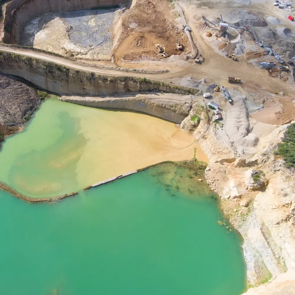
Reduce costs by covering your mineral resource ground reliably and rapidly — depth to bedrock, faults, excavation and hauling costs, ore and waste rock zones, and the condition of your earthen structures.
ReMi® turns the ambient noise already on your site — heavy equipment, haul traffic, machinery — into continuous shear-wave velocity sections. That means a project-wide view of the subsurface between your drill holes, so you can target drilling where it matters and size excavation and blasting programs with confidence.
Deep ReMi® extends the same field method beyond 1,000 ft (300 m) for mineral exploration and water resource investigations, reducing drilling costs while providing critical subsurface insight for sustainable development.
Map the vertical distance from surface to solid rock for excavation planning, foundations and groundwater flow.
ASCE-published shear-wave parameters classify rippable, marginal and non-rippable zones — less unnecessary blasting and equipment wear.
Constrain the location of ore and waste rock zones and estimate excavation and hauling costs.
Image potential faults to guide targeted trenching and reduce excavation costs.
Monitor earthen structures such as tailings retention dams, reservoir dams and tailings piles.
Detect voids in karstic environments and lava tubes before they become a hazard.
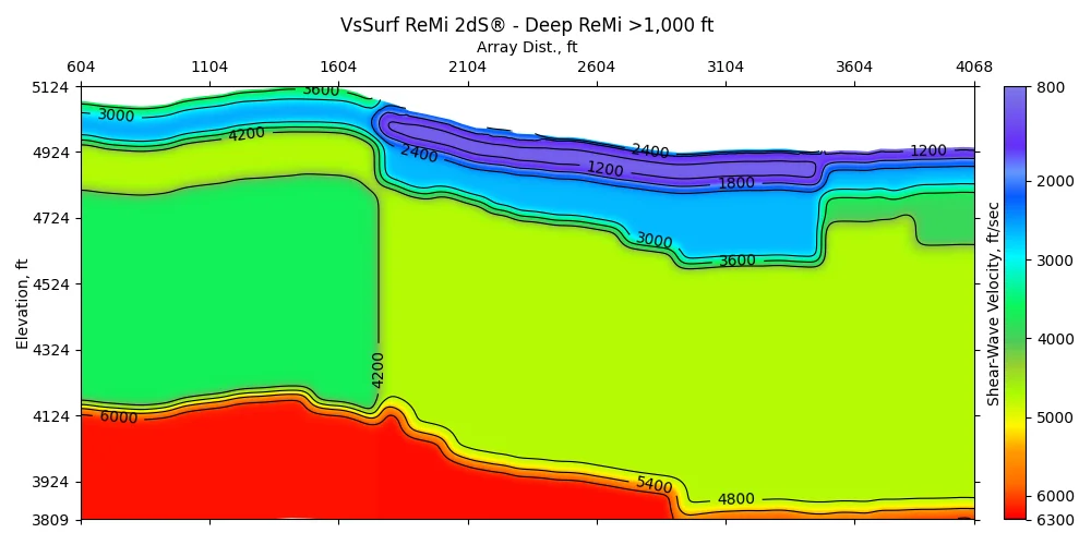
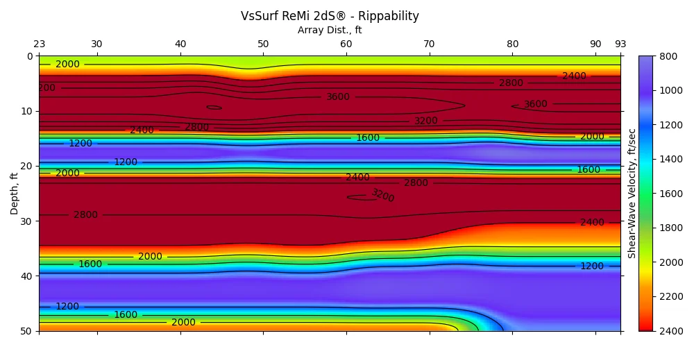
Our results confirm the ability of the ReMi technology to image deep velocity structure, including depths exceeding 1 km.
A 24-channel system for full 2D sections across your project area.
See bundles →Send us your records — our geophysicists deliver the 2D section and report.
Upload data →For 3,000+ ft basin and resource imaging, talk with our team about a larger array.
Talk to a geophysicist →Selected clients



Talk with a Terēan geophysicist about your site, your data, or the right system for your team.