
ASCE 7-22 site class
Vs100 / Vs30 per NEHRP and IBC, with an auto-generated report accepted by building authorities.
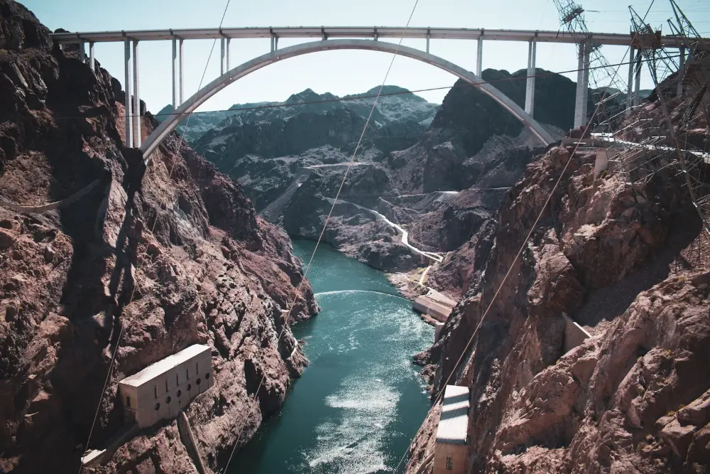
Reliably and quickly determine critical subsurface information for less — earthquake ground-shaking potential per the IBC, depth and velocity of subsurface layers, and rheologic properties of earth and rock.
Under ASCE 7-22, measured surface shear-wave velocity is the preferred method for site classification. Terēan® products meet all requirements of ASCE/SEI 7-22 Seismic Design (Chapters 11–23), and results are accepted by building authorities around the world.
Your field crews can collect while borings are being logged — drill-rig vibration simply adds energy — and the same 1D site-class data builds a full 2D section, so you can evaluate the lateral extent of layers, locate faults and slides, and confirm compaction and remediation work.
Vs100 / Vs30 per NEHRP and IBC, with an auto-generated report accepted by building authorities.
Detect low-velocity zones beneath more competent material and tie them to CPT data for safer designs.
Correlate continuous 2D velocity sections with borehole and CPT data to reduce drilling and validate conditions.
Constrain the location of faults and map landslide planes non-invasively.
Determine the effectiveness of compaction, pilings and earth remediation projects.
Proven in traffic-heavy areas, on pavement, on slopes and on space-limited lots.
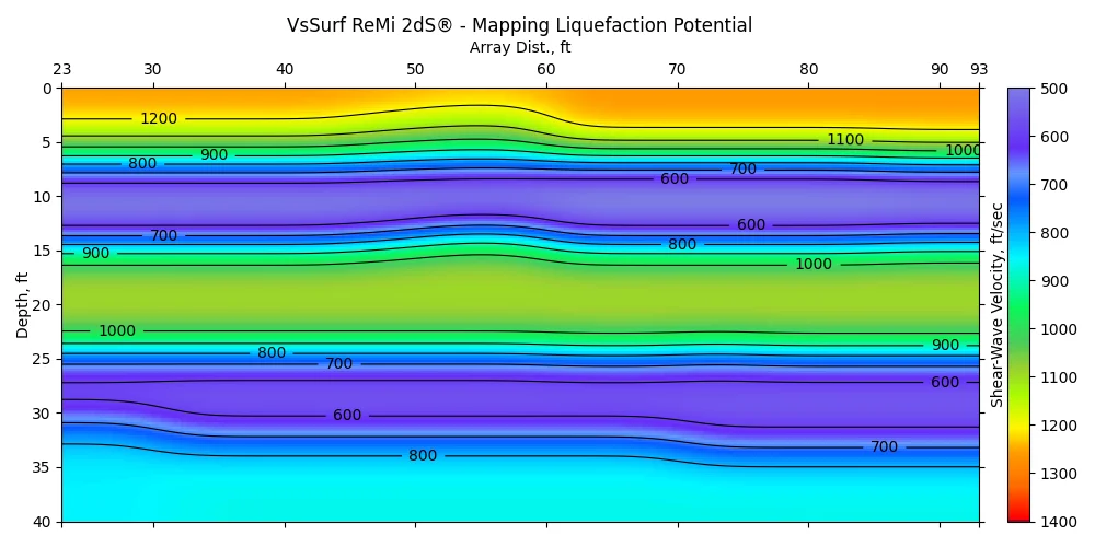
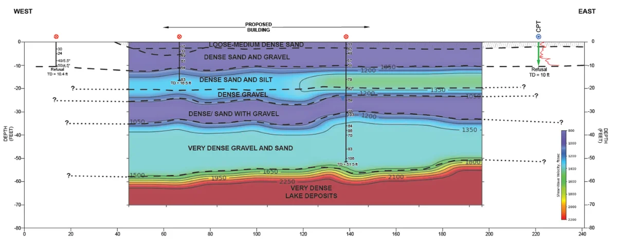
We did the ReMi line first and saw that there was a loose, low velocity layer until about 20-30 ft… We definitely would not have done a 50 ft boring if we did not see the ReMi data first.
Everything for 1D profiles and site class, with VsSurf 1dS and a year of training and support.
See bundles →A project-wide view: liquefaction, rippability, faults and landslide planes.
See bundles →Already collecting? Upload your SEGY or SEG2 records for a report with site class and a 2D section.
Upload data →Selected clients











Talk with a Terēan geophysicist about your site, your data, or the right system for your team.