
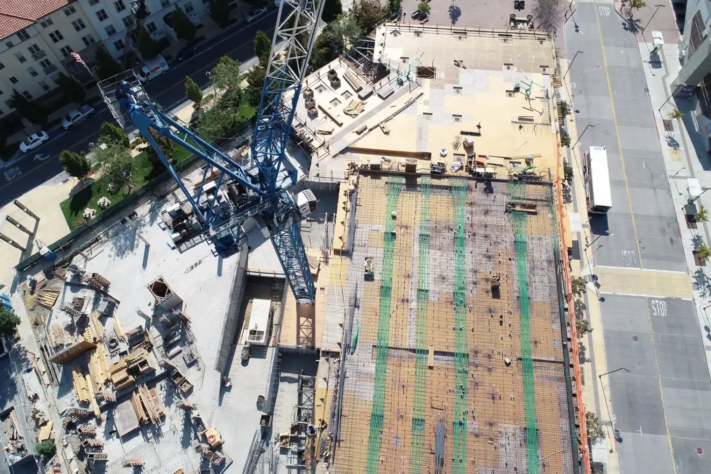
Find your sector.
One field method — ReMi® — answering different questions for different teams. Choose your industry to see the capabilities, results and setup that fit your work.
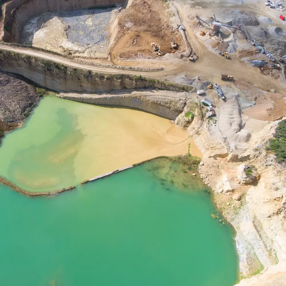
Mining & Resources
Reduce costs by covering your mineral resource ground reliably and rapidly — depth to bedrock, faults, excavation and hauling costs, ore and waste rock zones, and the condition of your earthen structures.
- Depth to bedrock
- Rippability
- Ore & waste rock zones
- Faults & discontinuities
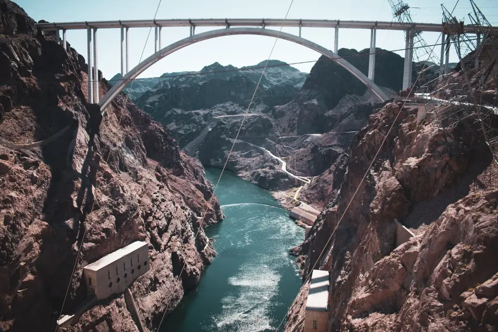
Engineering & Geotechnical
Reliably and quickly determine critical subsurface information for less — earthquake ground-shaking potential per the IBC, depth and velocity of subsurface layers, and rheologic properties of earth and rock.
- ASCE 7-22 site class
- Liquefaction potential
- Tie to boreholes
- Faults & landslides
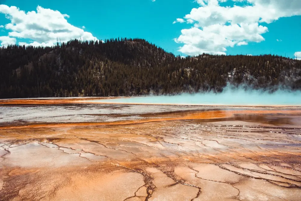
Energy & Geothermal
Non-invasively image basin-wide earth structure to over 10,000 ft (3,200 m) depth, to assist in developing drill targets for producing energy resources in commercial quantities.
- Basin structure & geometry
- Fault imaging
- Drill-target development
- Large arrays
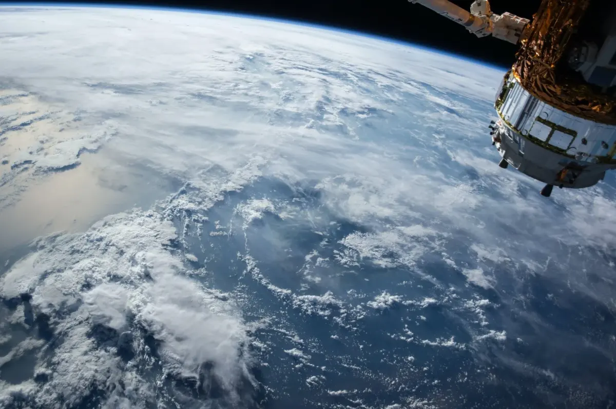
Research & Education
State-of-the-art seismic data processing software for research, teaching, and collaboration — on a local or planetary exploration scale.
- Teaching
- Research
- Collaboration
- Hazard mapping
Ready to see what’s underground?
Talk with a Terēan geophysicist about your site, your data, or the right system for your team.